
RENT & RIDE JAPANTanzawa, Yamakita & Suruga-Oyama
Tanzawa Mikuni & Kagosaka Pass Loop
A one-day pass-hunting loop from Hachioji, running south along the west bank of the Sagami River, then climbing the Mikuni and Kagosaka passes to Suruga-Oyama. Enjoy winding roads with views of both Mt. Fuji and the Tanzawa ridgeline.
- DISTANCE
- 180 km
- DURATION
- 9 h
- LEVEL
- Intermediate
Start at TASHILOG GARAGE and head south along the west bank of the Sagami River to Yamakita. From here begins a string of mountain passes threading the western edge of the Tanzawa range. Cross the famously steep Myojin and Mikuni passes and the view suddenly opens onto Lake Yamanaka, with majestic Mt. Fuji rising beyond.
Highlights
- Myojin & Mikuni Pass: A legendary climb used in the Tokyo 2020 Olympic road race. Descending the Lake Yamanaka side reveals a sweeping panorama of Mt. Fuji.
- Lake Yamanaka Myojinyama Panoramadai: A superb viewpoint overlooking the lake and Mt. Fuji. In autumn the pampas-grass fields turn golden.
- Kagosaka Pass: At 1,104 m, this historic pass on the old Kamakura Kaido sits on the ridge linking Mt. Fuji and the western Tanzawa mountains.
Riding tips
The pass sections are steep with many curves, so ride at a comfortable pace. The high elevation around Mt. Fuji's foothills means risk of road icing in late autumn and winter, so daytime during the foliage season is best.
- 1START
Tashilog Garage
Start point
TIPSCheck fuel and tire pressure before departure. Fill up early, as the pass sections run through remote mountains.
- 2SPOT~20 min
Michi-no-Eki Yamakita (Yamakita Roadside Station)
A small roadside station at the gateway to West Tanzawa, selling Ashigara tea and local produce.
TIPSAbout 700 m toward Lake Tanzawa from Shimizubashi on Route 246. Shop and snack corner open 9:00–17:00 (closed Mondays / day after holidays). Great for a restroom break and local info.
Open in Google Maps
Photo: Filler / Wikimedia Commons / CC BY-SA 3.0 - 3FOOD~50 min
Tomoshibi Shop Sakura
A casual diner next to the 'Sakura-no-Yu' facility by Yamakita Station, serving affordable set meals and noodles.
TIPSRight by JR Gotemba Line's Yamakita Station. Popular for affordable dishes like wonton. Open roughly 11:00–17:45 (closed Thursdays; open on holidays with the following Friday off). Fuel up before the climbs.
Open in Google Maps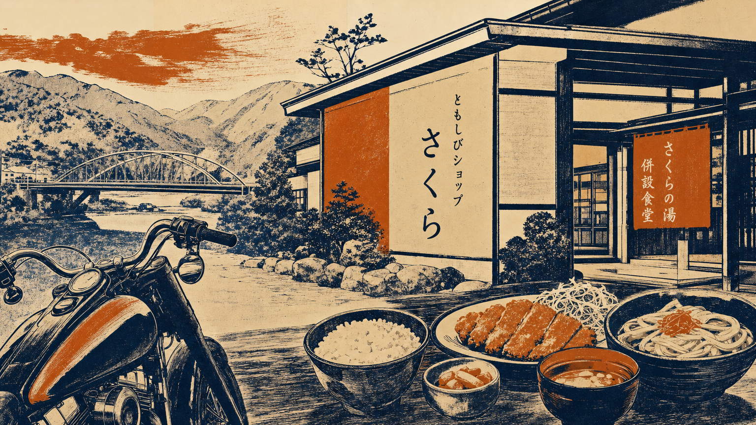
Image - 4VIEW~20 min
Myojin & Mikuni Pass
A steep winding road straddling Kanagawa, Shizuoka and Yamanashi prefectures.
HISTORYThis pass was part of the Tokyo 2020 Olympic cycling road race and is known as a tough climb with grades up to 18%.
TIPSThe pass section on Prefectural Roads 730/147. Continuous curves and steep grades—ride within your limits. Descending the Lake Yamanaka side opens up a grand Mt. Fuji panorama.
Open in Google Maps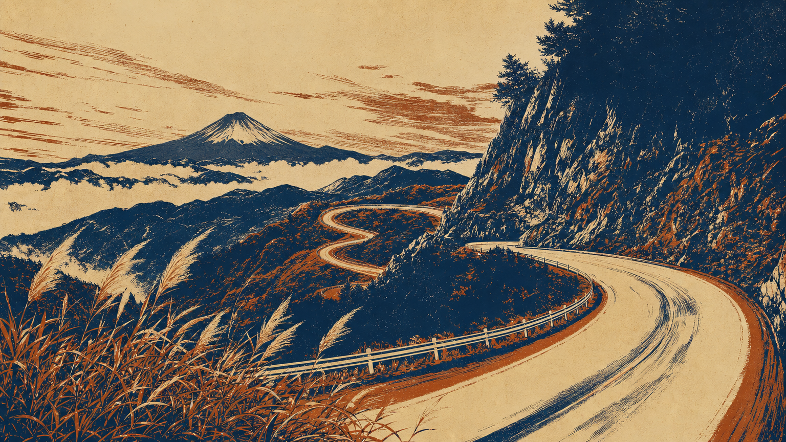
Image - 5VIEW~30 min
Lake Yamanaka Myojinyama Panoramadai
A viewpoint on Prefectural Road 730 overlooking Lake Yamanaka and Mt. Fuji.
TIPSLake Yamanaka below, Mt. Fuji beyond, and the Southern Alps on clear days. In autumn the pampas grass turns golden. Parking is small—use the Mikuni Pass lot when crowded.
Open in Google Maps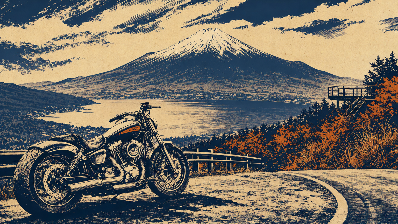
Image - 6VIEW~15 min
Kagosaka Pass
A 1,104 m pass on Route 138, crossing from Lake Yamanaka toward Subashiri.
HISTORYSitting on the ridge connecting Mt. Fuji and the western Tanzawa mountains, it was a key point on the old Kamakura Kaido linking Suruga and Kai provinces.
TIPSA pass on the busy Route 138—watch for traffic. The descent leads to the Subashiri district of Oyama, Shizuoka. Beware of snow and ice in winter.
Open in Google Maps
Photo: Σ64 / Wikimedia Commons / CC BY 3.0 - 7SPOT~25 min
Michi-no-Eki Subashiri (Subashiri Roadside Station)
A roadside station on Route 138 in Subashiri, offering Mt. Fuji spring water and local products.
TIPSA handy rest stop en route toward Suruga-Oyama, with Mt. Fuji close by. A good final break before heading back via the Ashigara / Gotemba area.
Open in Google Maps
Photo: アラツク / Wikimedia Commons / CC BY-SA 4.0 - 8GOAL
Tashilog Garage
Return