
RENT & RIDE JAPANTochigi / Shioya / Yaita / Happogahara
Happogahara & Shioya Highland Ride
A one-day loop over the Happogahara plateau at the southern foot of the Nasu mountains and through the Shioya hills, combining flowing curves, sweeping pasture views and famous spring water.
- DISTANCE
- 360 km
- DURATION
- 11 h
- LEVEL
- Intermediate
Starting from Tashilog Garage, take the Tohoku Expressway north to Yaita in northern Tochigi. On the eastern slope of Mt. Takahara, part of Nikko National Park, lies the terraced plateau of Happogahara. This refreshing one-day loop climbs the 1,000–1,200 m highland on flowing mountain curves.
Highlights
- Omamadai Overlook — famed for its azalea colonies and views of Mt. Shakagatake; in autumn the grasslands and foliage turn golden and crimson.
- Yama-no-Eki Takahara — a hub facility overlooking the Gakkodaira pastures, with a restaurant using local produce.
- Shojinzawa Spring — pristine spring water selected among Japan's 100 Best Waters, set in old-growth forest.
The Happogahara forest road is usually closed from December to mid-April, so spring through autumn is best. Mountain weather changes fast, so bring rain gear and warm layers.
- 1START
Tashilog Garage
Start point
TIPSAn early start is recommended. Fuel up and check tire pressure before heading toward the Tohoku Expressway.
- 2SPOT~30 min
Yama-no-Eki Takahara
The gateway facility for Happogahara and Mt. Takahara, with a shop of local produce, a restaurant and rest area.
TIPSA rest stop overlooking the Gakkodaira pastures (approx. 1,000 m). Behind it, a short trail leads toward Happo Ranch and Happo Lake for easy highland views. Good for restrooms and a breather.
Open in Google Maps
Photo: 松岡明芳 / Wikimedia Commons / CC BY-SA 3.0 - 3VIEW~40 min
Omamadai Overlook
The uppermost terrace of Happogahara at about 1,200 m, with vast azalea colonies and views of the Takahara range.
HISTORYA military horse ranch once stood here; the toxic Renge azaleas were the only plants the horses would not eat, so they survived to form vast colonies. Some 200,000 plants glow scarlet in mid-June.
TIPSFrom the overlook beside the car park you can see Mt. Shakagatake, the Nasu range and even the distant Kanto Plain. Autumn brings golden grass and vivid foliage. The forest road is closed in winter (Dec–mid-Apr).
Open in Google Maps
Image - 4FOOD~60 min
Yama-no-Eki Takahara Restaurant (Lunch)
The restaurant inside Yama-no-Eki Takahara, popular for dishes made with local ingredients.
TIPSEnjoy set meals and soba made with local produce while overlooking the plateau. Hours vary by season, so please confirm in advance. Ideal for lunch after the overlook walk.
Open in Google Maps
Image - 5VIEW~45 min
Shojinzawa Spring
Pristine spring water welling up on the slopes of Mt. Takahara, chosen among Japan's 100 Best Waters in 1985.
TIPSThe water stays around 11°C year-round. Reaching the source means a walk along a forest trail from the car park (no restrooms en route). For easy access, the Shojinzawa Meisui Park a few minutes away is convenient.
Open in Google Maps
Photo: pcs34560 / Wikimedia Commons / Public domain - 6VIEW~25 min
Higashiarakawa Dam Park
A lakeside park by the Higashiarakawa Dam reservoir at about 527 m, offering scenic lake views.
TIPSA rest spot along the road through the Shioya hills. Take a break enjoying the lakeside scenery — a good final refresh before the ride home.
Open in Google Maps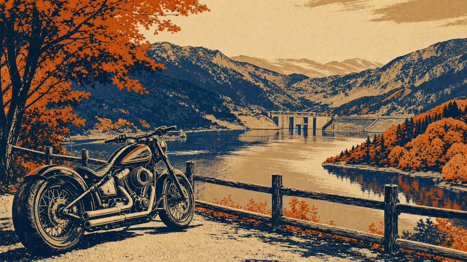
Image - 7GOAL
Tashilog Garage
Return
TIPSAim to return before sunset. Descend early to avoid congestion on the Tohoku Expressway.