
RENT & RIDE JAPANKoshu / Enzan – Lake Daibosatsu & Yanagisawa Pass
Lake Daibosatsu & Yanagisawa Pass Loop
From Hachioji over Otarumi Pass to Enzan, Lake Daibosatsu, and up to Yanagisawa Pass at 1,472 m. A pass-hopping loop chasing autumn foliage by elevation, with sweeping views of Mt. Fuji and the Okuchichibu range.
- DISTANCE
- 190 km
- DURATION
- 9 h
- LEVEL
- Intermediate
Departing TASHILOG GARAGE, cross Otarumi Pass on the border of Tokyo and Kanagawa toward Lake Sagami, then climb into the Koshu region. This full-day loop is a feast of mountain passes running parallel to the Chuo Expressway.
Course Highlights
- Otarumi Pass — A pass on the Koshu Kaido (Route 20) linking Hachioji and Lake Sagami; a perfect warm-up winding road.
- Lake Daibosatsu (Kamihikawa Dam) — A reservoir at around 1,486 m elevation, with the peaks of Daibosatsu across the water and Mt. Fuji when you turn around.
- Yanagisawa Pass — At 1,472 m, the highest point of Route 411 (Ome Kaido). Loop bridges, tunnels, and hairpins build up to a climactic view of Mt. Fuji on clear days.
Chasing Autumn by Elevation
In autumn, foliage first colors the higher Yanagisawa Pass and Lake Daibosatsu, then descends toward Enzan and Katsunuma below. The joy of this loop is seeing different stages of color on the same day thanks to the elevation change. Mornings and evenings on the passes are cold, so bring warm gear.
- 1START
Tashilog Garage
Start point in Miyashitacho, Hachioji.
TIPSCheck fuel and tire pressure before departure. Bring warm gear for the cold passes.
- 2VIEW~15 min
Otarumi Pass
A pass on Route 20 (Koshu Kaido) crossing the Tokyo–Kanagawa border between Hachioji and Lake Sagami.
TIPSThe first winding road of the trip. Traffic can be busy, so ride with the flow.
Open in Google Maps
Photo: Atzy / Wikimedia Commons / CC BY-SA 3.0 - 3FOOD~60 min
Koshu Hoto Kanjukuya Honten
A popular Koshu hoto restaurant near Enzan Station in a 120-year-old traditional farmhouse.
TIPSThe signature dish is hoto with house-made miso; tempura and Kai salmon are also popular. Lunch is roughly 11:30–15:00 (L.O. 14:30), with dinner service too. A numbered-ticket system may apply when busy. Please confirm hours before visiting.
Open in Google Maps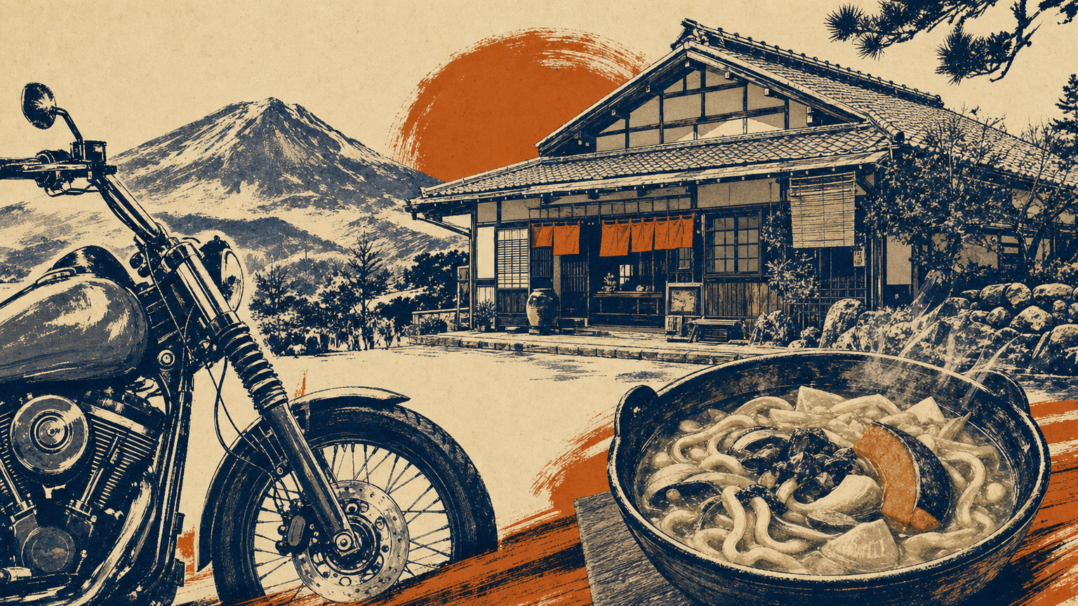
Image - 4SPOT~40 min
Erinji Temple
An ancient Rinzai Zen temple in Enzan, famous as the family temple of the warlord Takeda Shingen.
HISTORYA renowned Rinzai temple and the family temple of Takeda Shingen, one of Japan's great Sengoku-era warlords. Its garden was designed by the Zen master Muso Soseki, and the temple preserves many sites tied to the Takeda clan of Kai Province.
TIPSThe quiet grounds and garden are the main draws, and it makes a great stop between central Enzan and Yanagisawa Pass. Check opening hours in advance.
Open in Google Maps
Photo: さかおり (talk / Wikimedia Commons / CC BY-SA 3.0 - 5VIEW~30 min
Lake Daibosatsu (Kamihikawa Dam)
A reservoir at around 1,486 m elevation, accessible via Yamanashi Prefectural Route 218.
TIPSKamihikawa Dam sits at about 1,486 m, one of Japan's highest dams, offering views of the Daibosatsu peaks across the lake and Mt. Fuji downstream. The Route 411 approach is narrow with tight curves, so the Route 20 / Route 218 approach is easier to ride.
Open in Google Maps
Photo: Σ64 / Wikimedia Commons / CC BY-SA 3.0 - 6VIEW~30 min
Yanagisawa Pass
At 1,472 m, the highest point of Route 411 (Ome Kaido), famous for its grand view of Mt. Fuji.
TIPSAt 1,472 m, this is the highest point of the Ome Kaido and a celebrated photo spot with views of Mt. Fuji and the Okutama mountains on clear days. The pass features loop bridges, tunnels, and hairpins, plus a municipal parking lot, public restrooms, and a teahouse.
Open in Google Maps
Photo: っ / Wikimedia Commons / CC BY-SA 3.0 - 7ONSEN~60 min
Michi-no-Eki Tabayama (Nomekoi-yu Onsen)
A roadside station in Tabayama Village, down Route 411 from Yanagisawa Pass toward Okutama, with the Nomekoi-yu day-trip hot spring.
TIPSA day-trip onsen to soothe post-pass fatigue, popular for its silky water; also handy for a break and refreshments. Check hours and closing days in advance.
Open in Google Maps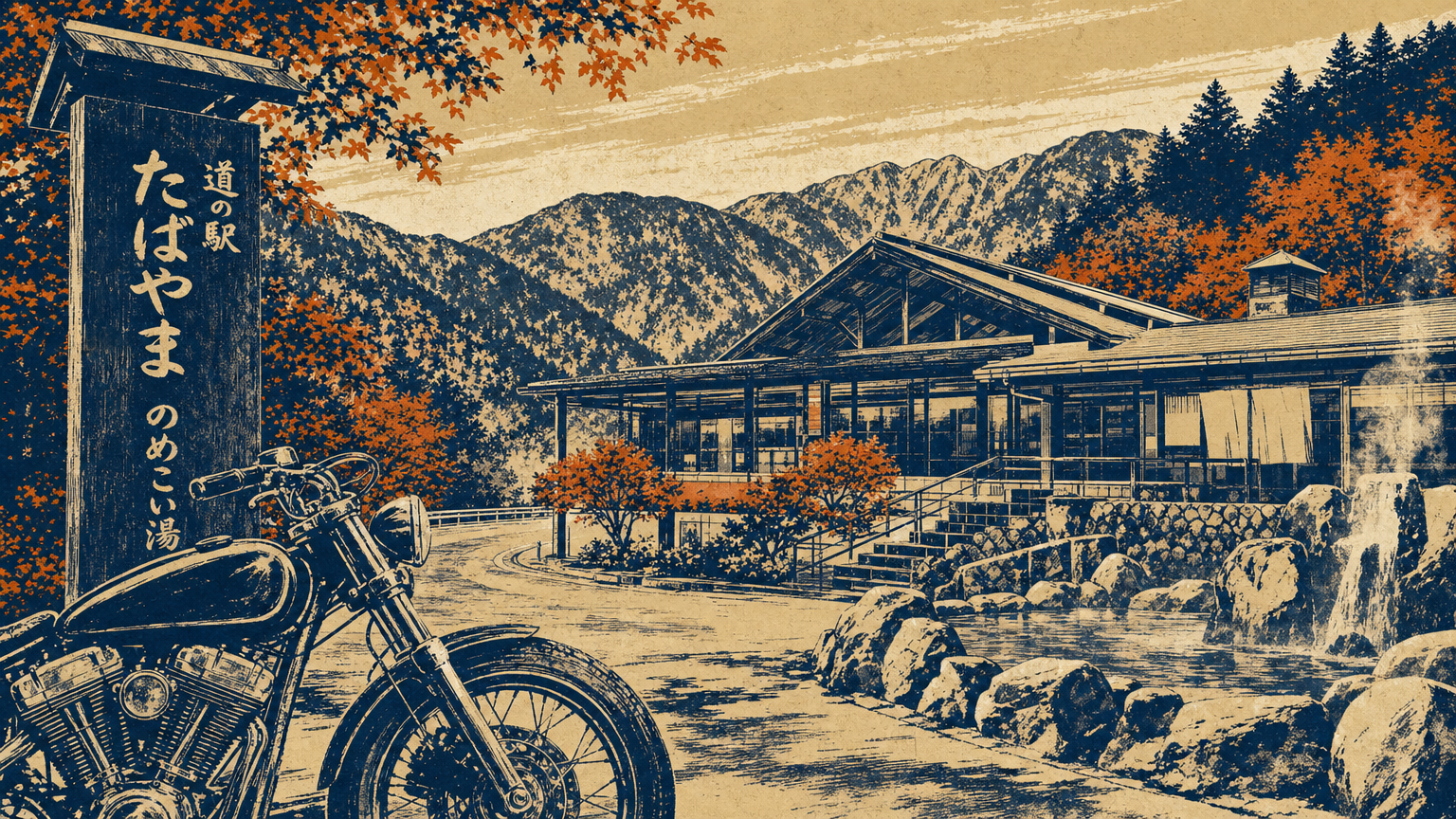
Image - 8VIEW~20 min
Lake Okutama (Ogochi Dam)
A reservoir supplying Tokyo's water, along Route 411 and a scenic point on the way back to Hachioji.
TIPSOpen in Google MapsThe lakeside winding road makes for a pleasant return; in autumn the water and foliage form a beautiful contrast. From here, descend toward Ome and Hachioji.
- 9GOAL
Tashilog Garage
Return to Miyashitacho, Hachioji.
