
RENT & RIDE JAPANChikuma River Headwaters & Saku-Koshu Kaido, Nagano
Chikuma River Headwaters & Saku-Koshu Kaido Culture Ride
A one-day culture ride from Hachioji into Nagano, crossing the Chikuma River headwaters and Nobeyama plateau to visit the old post town of Uminokuchi-juku and Tatsuoka Castle, one of only two star-shaped fortresses in Japan.
- DISTANCE
- 340 km
- DURATION
- 10 h
- LEVEL
- Intermediate
Ride the Koshu Kaido (Route 20) through Yamanashi, then climb Route 141 into the highlands at the eastern foot of the Yatsugatake mountains. Above 1,000 m, Kawakami village and the Nobeyama plateau spread out with vast highland lettuce fields—stretching to the horizon in autumn—alongside the quiet atmosphere of the old highway.
Highlights
- JR Highest Railway Point: A monument at 1,375 m, the highest point on any JR line, with Yatsugatake as a backdrop.
- Uminokuchi-juku: A post town on the Saku-Koshu Kaido, whose "sea" place-name dates back to a natural dammed lake formed by a Yatsugatake eruption.
- Tatsuoka Castle (Goryokaku): One of only two star-shaped Western-style fortresses in Japan, with surviving moats, stone ramparts, and part of the original kitchen building.
Mornings and evenings are cold on the plateau, so bring warm gear. Some old-highway sections are narrow, making this a route best enjoyed at a relaxed pace.
- 1START
Tashilog Garage
Start point. Head from Hachioji toward Nagano via the Koshu Kaido.
TIPSThe highlands are cold morning and evening—bring warm layers and rain gear, and leave early.
- 2VIEW~20 min
JR Highest Railway Point Monument
A monument on the Nobeyama plateau marking the highest point on any JR railway line.
TIPSA wooden marker and stone monument stand by the crossing at 1,375 m, with Yatsugatake behind—ideal for photos. Nearby are eateries and highland-vegetable stands.
Open in Google Maps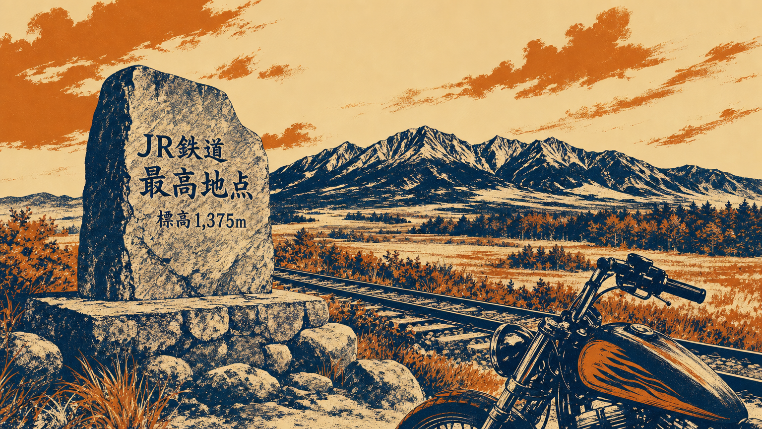
Image - 3FOOD~60 min
Restaurant Saikochiten (Highest Point)
Lunch at a lodge-style handmade-soba restaurant right by the JR Highest Railway Point.
TIPSKnown for soba hand-cut each morning—try the tororo or vegetable-tempura soba, plus local-milk soft-serve. Dine with a Yatsugatake view. Please confirm opening hours.
Open in Google Maps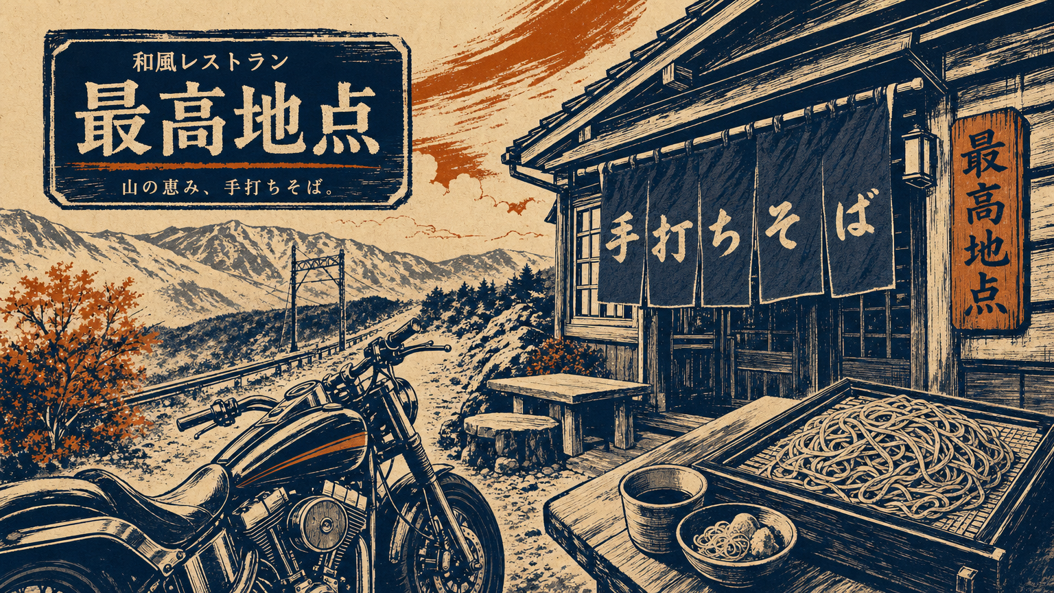
Image - 4VIEW~25 min
Kawakami Village Lettuce Fields (Oomiyama)
Highland vegetable fields in the Chikuma River headwaters—Japan's top lettuce-producing area.
TIPSCool air above 1,000 m makes this Japan's largest lettuce-growing region. The fields are most striking during the summer–autumn harvest. Watch for farm vehicles on the narrow lanes.
Open in Google Maps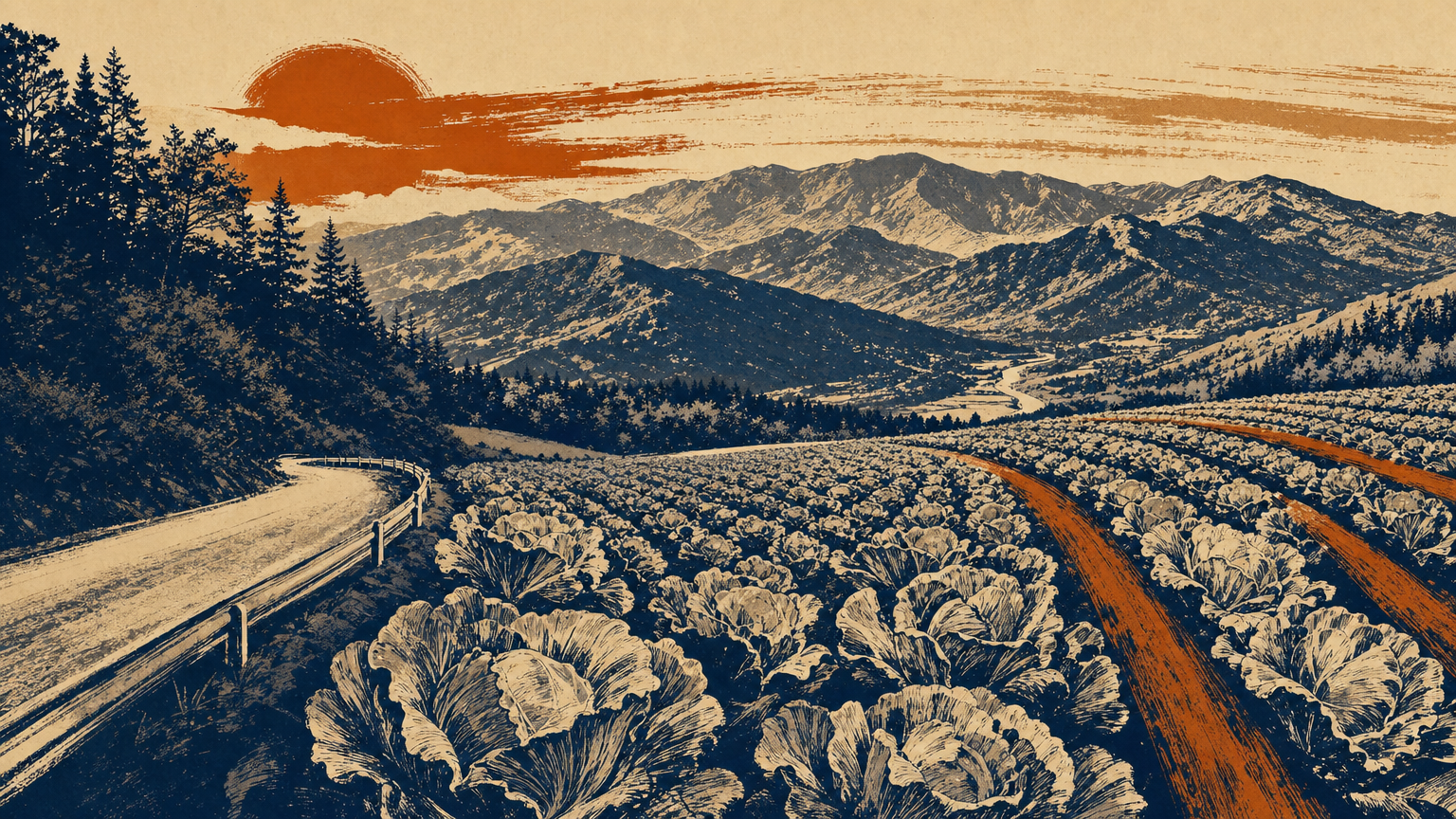
Image - 5SPOT~30 min
Uminokuchi-juku Post Town
A post town on the Saku-Koshu Kaido, its old streetscape set in a valley around 1,000 m elevation.
HISTORYA post town on the Saku-Koshu Kaido that thrived on relaying cargo and hosting travelers. The "sea" in its name comes from a natural dammed lake formed when a Yatsugatake collapse blocked the Chikuma River in the Heian period, with the inflow point called "Uminokuchi." In the Warring States era, Uminokuchi Castle here saw fierce fighting during a Takeda invasion.
TIPSThe sloping lanes retain a post-town feel. Pair it with Umijiri-juku 4 km on for a fuller sense of the old highway.
Open in Google Maps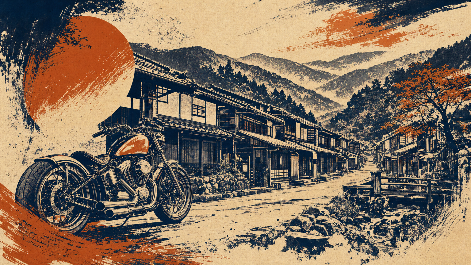
Image - 6SPOT~60 min
Tatsuoka Castle (Goryokaku)
One of only two star-shaped Western-style fortresses in Japan; a National Historic Site.
HISTORYA bastion-style (star-shaped) fortress begun in 1864 by Matsudaira Noritaka, lord of the Tanokuchi domain, and completed in 1867. Based on the design principles of France's Vauban, it is one of only two such fortresses surviving in Japan, alongside Hakodate. Mostly dismantled in the early Meiji era, it retains its moat, stone ramparts, and part of the palace kitchen. It is listed among the Continued Top 100 Japanese Castles.
TIPSThe adjacent "Deai-no-Yakata" guidance center offers exhibits and castle stamps (please confirm hours and closed days). The compact grounds take about an hour to see, with free parking.
Open in Google Maps
Photo: Abasaa / Wikimedia Commons / Public domain - 7GOAL
Tashilog Garage
Return. Head back to Hachioji from Saku via the Chubu-Odan and Chuo expressways.
TIPSUse the expressways on the way back to save time. Descend before dark, as the highlands get cold after sunset.