
RENT & RIDE JAPANKomoro, Eastern Mt. Asama & Tsumagoi Highland
Komoro to Asama & Tsumagoi Pass Run
A one-day mountain-pass loop climbing from Komoro Castle up the eastern flank of Mt. Asama, past the Onioshidashi lava field, and out onto the Tsumagoi highland panorama road.
- DISTANCE
- 390 km
- DURATION
- 12 h
- LEVEL
- Intermediate
Leave Tashilog Garage in Hachioji early and run the Kan-etsu and Joshin-etsu Expressways straight to Komoro in Shinshu. Starting at the riverside castle ruins of Kaikoen, you climb north along highland twisties hugging the eastern flank of Mt. Asama. As the altitude rises the view opens up onto the Onioshidashi lava field, a vast sea of black rock born in the great eruption of 1783.
Highlights
- Stone walls and autumn colours of Komoro Castle (Kaikoen) above the Chikuma River
- The dramatic lava landscape of Onioshidashi on Asama's northern foot
- The Tsumagoi Panorama Line and Aisai-no-oka hill, with cabbage fields framing Mt. Asama
- In October–November the larch forests turn the highlands golden
Riding Notes
The highlands run roughly 10°C cooler than the lowlands, and shaded or early-morning pavement stays cold. Bring warm gear and watch for fallen leaves and damp surfaces. Fully paved but full of continuous curves, this is a one-day route best suited to intermediate riders and up.
- 1START
Tashilog Garage
Start point. Depart Hachioji early in the morning.
TIPSFuel up and check tyres and warm gear before leaving. Take the Kan-etsu and Joshin-etsu Expressways to Komoro IC.
- 2SPOT~50 min
Komoro Castle Ruins (Kaikoen)
The ruins of Komoro Castle, built using the Chikuma River terrain, now laid out as a public park.
HISTORYAfter the abolition of the feudal domains the castle was bought back by former retainers and reborn in 1926 as Kaikoen, a modern park designed by Seiroku Honda. The San-no-mon and Otemon gates survive from the castle era, and it is listed among Japan's 100 Fine Castles.
TIPSOpen 9:00–17:00 (shorter in winter). Famous for cherry blossoms and autumn leaves; a combined ticket covers the museums too. Car parking available.
Open in Google Maps
Photo: nyaa_birdies_perch from Soba restaurant Kojoken in Komoro, Nagano / Wikimedia Commons / CC BY 2.0 - 3VIEW~20 min
Cherry Park Line
A highland road of continuous curves climbing from Komoro up to Takamine Kogen.
TIPSA winding climb that gains altitude fast. The larch turns golden in autumn, but ride carefully as the surface stays cold morning and evening.
Open in Google Maps
Photo: Komoro no kaze / Wikimedia Commons / CC BY-SA 4.0 - 4SPOT~60 min
Onioshidashi Park
A nature park where walkways cross the black lava field spreading across Mt. Asama's northern foot.
HISTORYThe landscape formed when lava from the great 1783 eruption of Mt. Asama cooled and hardened; its name comes from villagers' impression that 'ogres pushed the rocks out of the crater.' Certified as a geopark in 2016, its trails centre on the Asama Kannon-do temple hall.
TIPSOpen 8:00–17:00 (last entry 16:30, seasonal changes), paid admission. Free, spacious parking. Allow 30–60 min. Reached via the Onioshi Highway toll road.
Open in Google Maps
Photo: Σ64 / Wikimedia Commons / CC BY 3.0 - 5FOOD~60 min
Kappo Nakaiya
A Japanese restaurant near Manza-Kazawaguchi Station, known for freshly made soba and local produce.
TIPSIn summer–autumn, when local Tsumagoi cabbage is in season, a soba topped with shredded cabbage and Yamato-pork shabu is popular; the Yamato-pork rice bowl is also a signature. Please confirm hours before visiting.
Open in Google Maps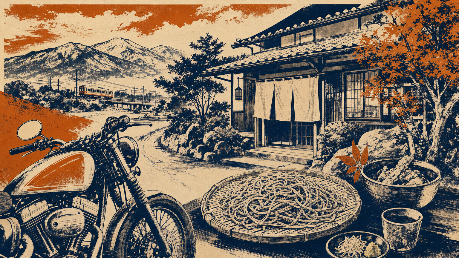
Image - 6VIEW~25 min
Aisai-no-oka Hill
A small viewpoint hill along the Tsumagoi Panorama Line, looking out over cabbage fields to Mt. Asama.
TIPSA touring favourite with sweeping cabbage fields and views of Mt. Asama and Lake Tashiro. Climb the steps to the viewing deck. Toilets available; a short stop is enough.
Open in Google Maps
Photo: osami / Wikimedia Commons / Public domain - 7VIEW~20 min
Tsumagoi Panorama Line
An open, sweeping road running through the cabbage fields of the Tsumagoi highland.
TIPSA fast, wide-open highland road. Join National Route 144 from the northern section to begin the return leg. In autumn the golden larch and crisp air make the ride a joy.
Open in Google Maps
Photo: Yobito KAYANUMA / Wikimedia Commons / CC BY-SA 3.0 - 8GOAL
Tashilog Garage
Return. Head back to Hachioji from Tsumagoi via the Joshin-etsu and Kan-etsu Expressways.
TIPSTemperatures drop at sunset on the way home, so layer up early. To avoid traffic, aim to join the expressway before late afternoon.